
SURVEYING & MAPPING
2D Orthomosaics | 3D Twins | Stockpile Measurements | Precision Agriculture


Capture Accurate and Up To Date at a Fraction Of The Price
A complete visual and data rich record of your work site or land area. Observe updates to your land with periodic scanning - allowing stakeholders and workers to monitor progress over time.


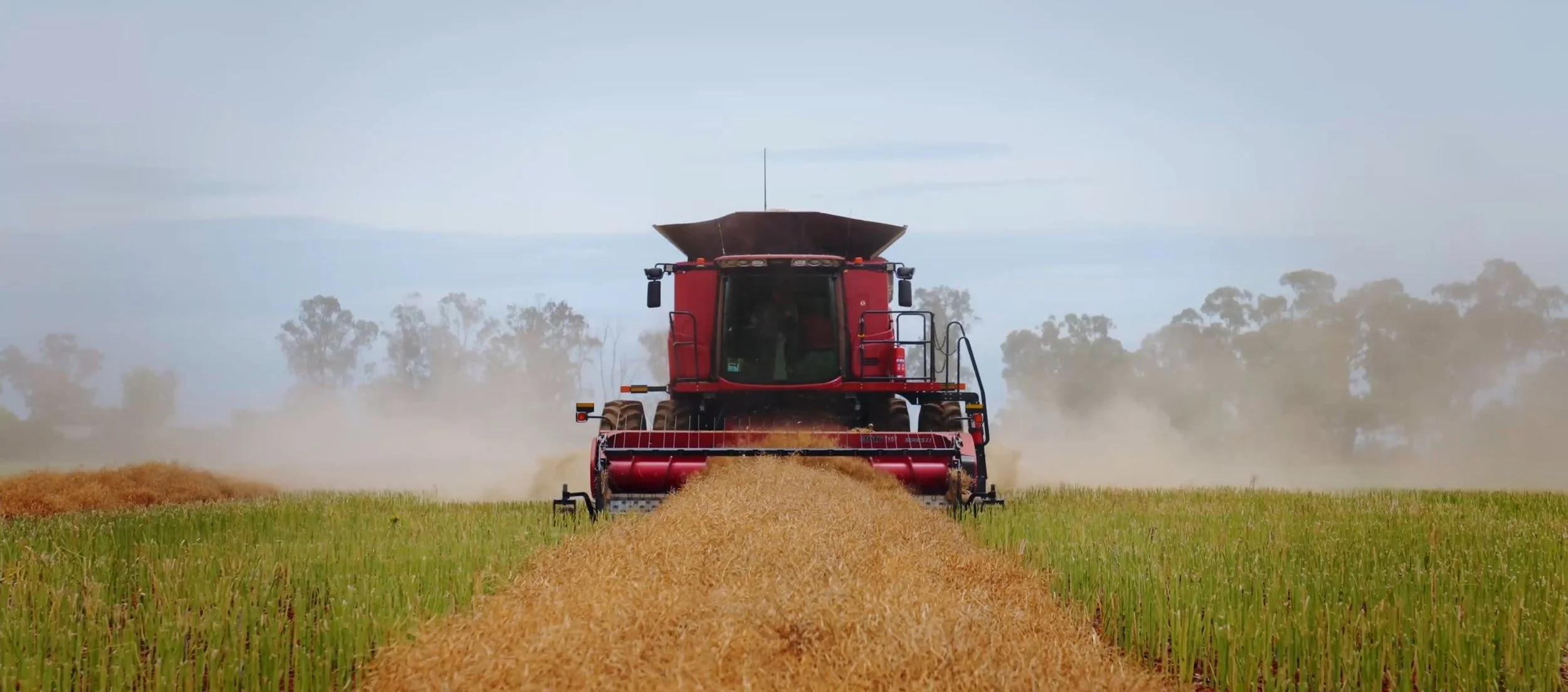
UAV is a Primary Tool for Aerial Mapping and 360 Tours
Our team of field based experts with the latest in engineering and technologic knowledged combined with an extensive track record to deliver absolute results on any project.

SEND AN EMAIL OUT TO US TODAY

Benefits of Surveying with a Drone
| Quick | Cost-effective | Reliable |
A drone can carry out topographic surveys at the same quality and accuracy as collected by traditional methods but in a fraction of the time. This leads to substantial cost savings and workload for the specialists in the field.
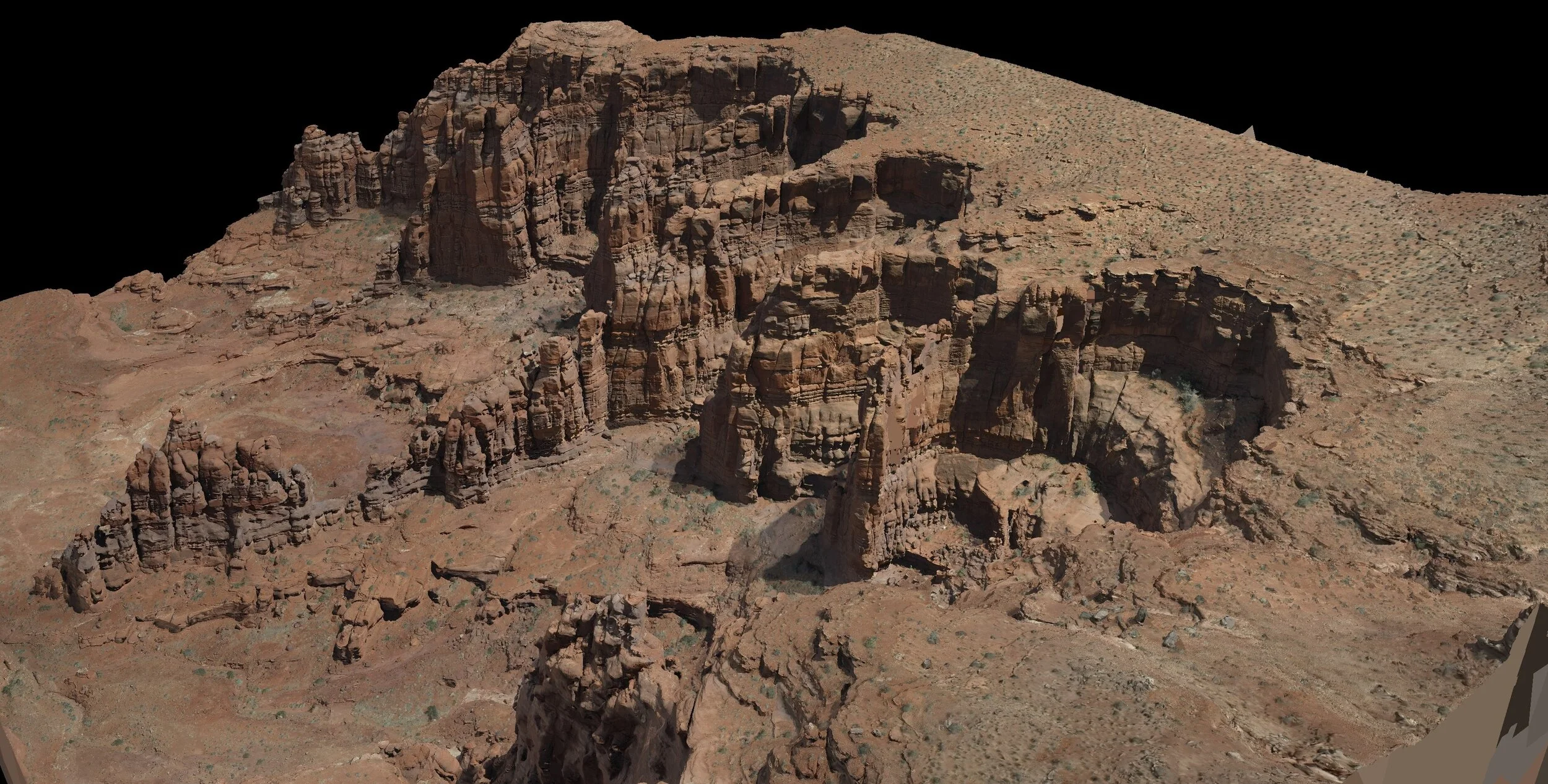
A drone survey refers to the capture of aerial data with an RGB or Multispectral camera, during which, the ground Is photographed many times at different angles. Each image is GPS tagged and allows the software to create geo-referenced orthomosaics, elevation models, and 3D models of the required area. It gives the user highly accurate information on their construction, farm, or any other project.
Drones have an advantage over traditional methods such as satellite imagery due to lower levels of elevation a drone can capture.
Land Management and Development

1 cm per pixel accuracy
Accurate Stockpile Volumetric Measurements

Accurate stockpile measurements

See our Latest News & Case Studies